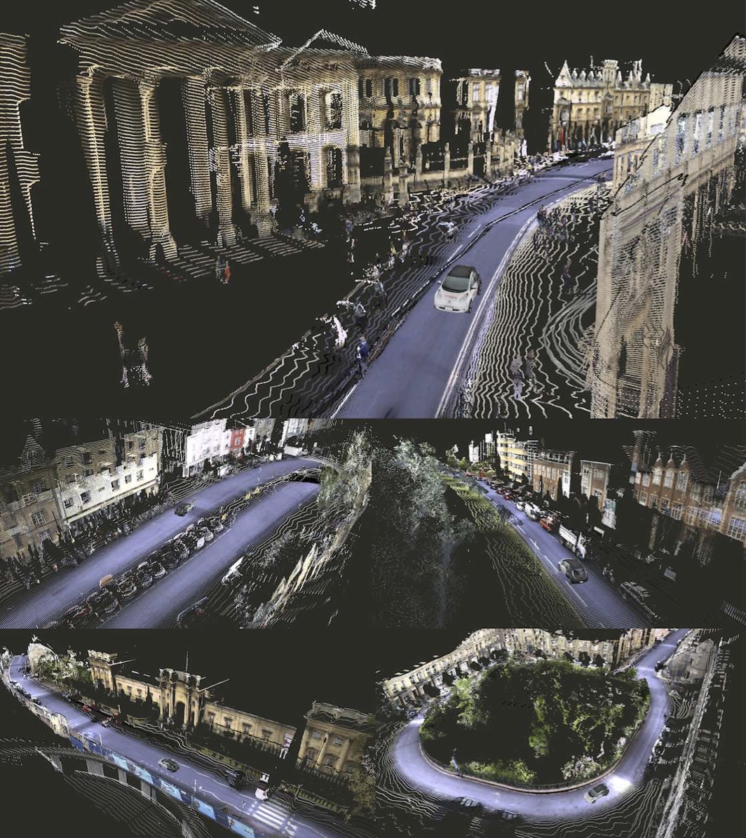
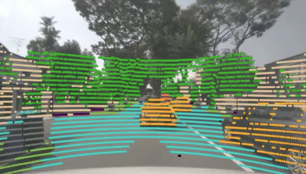
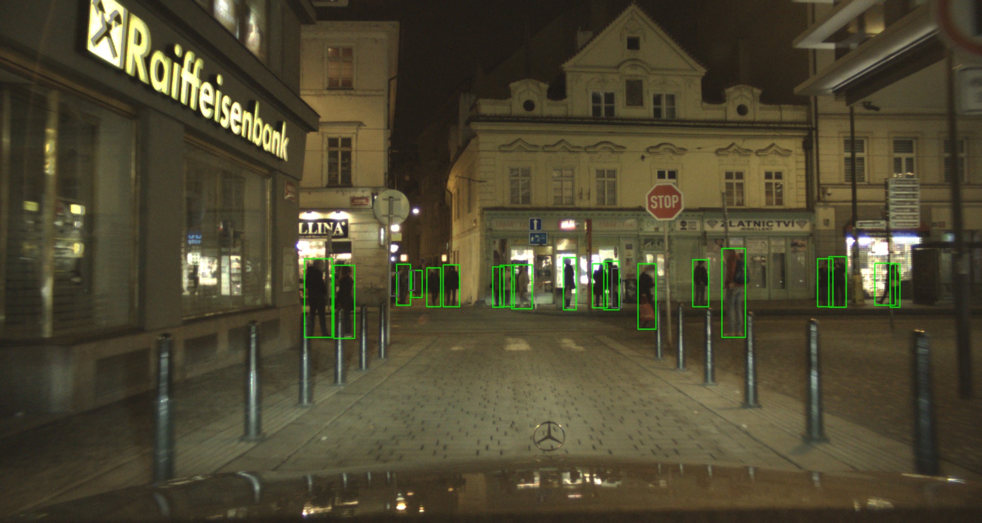
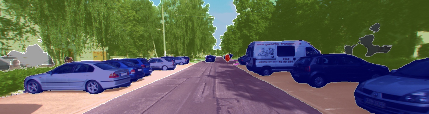
The Waymo Open Dataset (WOD), sometimes referred to as the Perception Dataset, is a large-scale, diverse, multimodal dataset of 2,030 driving scenes (or segments), each spanning 20 seconds. Each scene contains synchronized and calibrated LiDAR and camera data across a range of urban and suburban environments.
The Waymo Open Dataset is intended for research in autonomous driving technologies, and contains data that can be used to research machine perception and sensor fusion.
@article{DBLP:journals/corr/abs-1912-04838,
  author       = {Pei Sun and
                  Henrik Kretzschmar and
                  Xerxes Dotiwalla and
                  Aurelien Chouard and
                  Vijaysai Patnaik and
                  Paul Tsui and
                  James Guo and
                  Yin Zhou and
                  Yuning Chai and
                  Benjamin Caine and
                  Vijay Vasudevan and
                  Wei Han and
                  Jiquan Ngiam and
                  Hang Zhao and
                  Aleksei Timofeev and
                  Scott Ettinger and
                  Maxim Krivokon and
                  Amy Gao and
                  Aditya Joshi and
                  Yu Zhang and
                  Jonathon Shlens and
                  Zhifeng Chen and
                  Dragomir Anguelov},
  title        = {Scalability in Perception for Autonomous Driving: Waymo Open Dataset},
  journal      = {CoRR},
  year         = {2019},
  url          = {http://arxiv.org/abs/1912.04838}
}