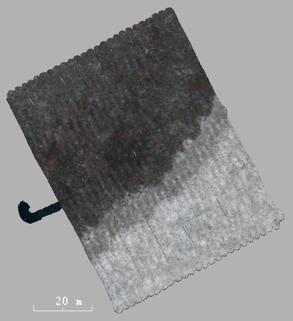
This dataset contains 9800 stereo image pairs captured by the Sirius AUV densely covering an area of 75mx50m. The trajectory consists of 50 parallel tracks and one perpendicular path across the center of the path. This data set has therefore many small loop closures.There are three dominating substrates: reef, sand and transition area.
The dive chosen was used to create a full-coverage 50 m by 75 m photomosaic of the benthos. It features clear transitions between dense coral cover, barren sand and an intermediate, partially populated substrate class. All of the data is geo-referenced by a visually based extended information-form SLAM filter.
@inproceedings{inproceedings,
  author = {Steinberg, Daniel and Williams, Stefan and Pizarro, Oscar and Jakuba, Michael},
  title = {Towards autonomous habitat classification using Gaussian Mixture Models},
  journal = {IEEE/RSJ 2010 International Conference on Intelligent Robots and Systems, IROS 2010 - Conference Proceedings},
  year = {2010},
  doi = {10.1109/IROS.2010.5652480}
}